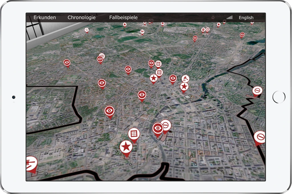


Visiting
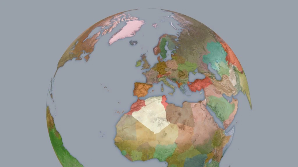
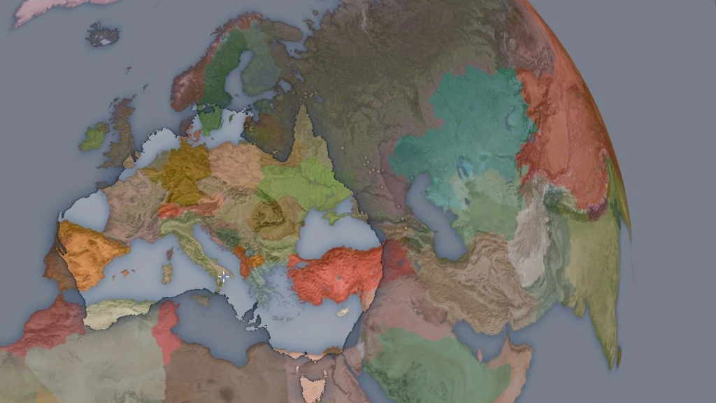
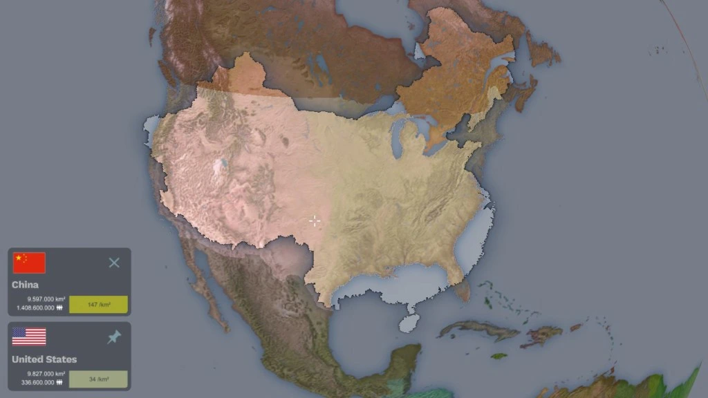
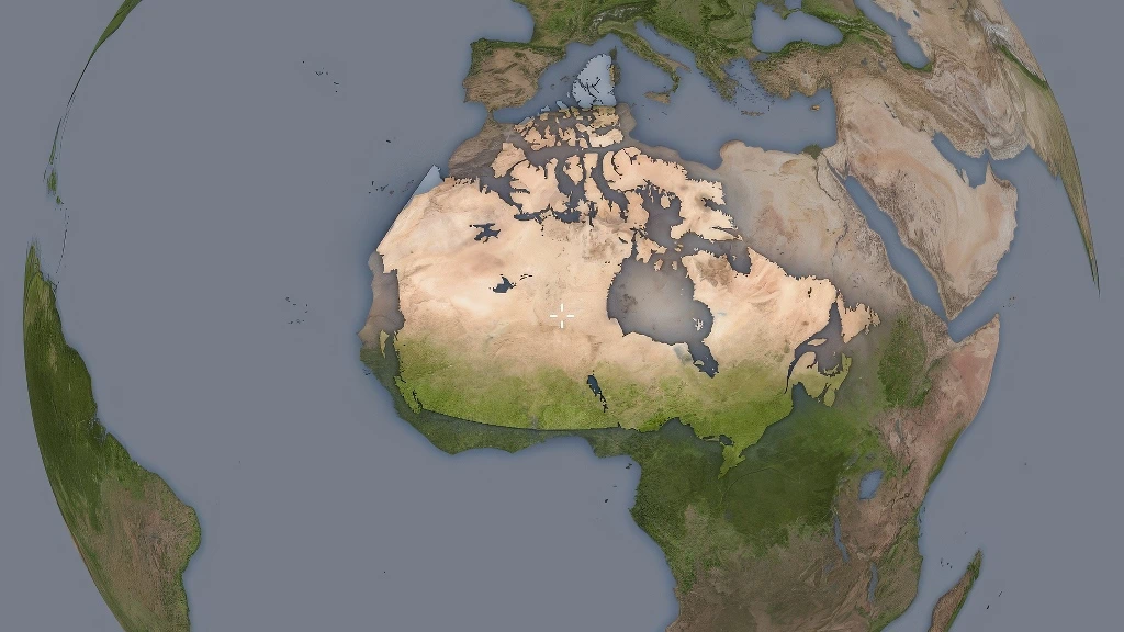
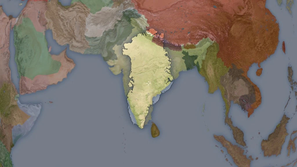
How big would the US be if it were superimposed on Europe? You may have previously felt the need to compare the sizes of countries and continents side by side, using the scale of your familiar surroundings to gain an understanding of unfamiliar places. Old atlases often included the outline of their country of origin on maps for size comparison purposes. Today, Google Maps overlays are available, but they remain subject to the distortions of map projection. The geography learning tool Visiting allows you to compare countries in terms of size, shape and orientation by moving them across the globe with only perspective distortion and no size-inaccuracies at all. Simply select a country, pin it in place, and rotate the globe to make it move around. Be prepared for some »aha« moments!